
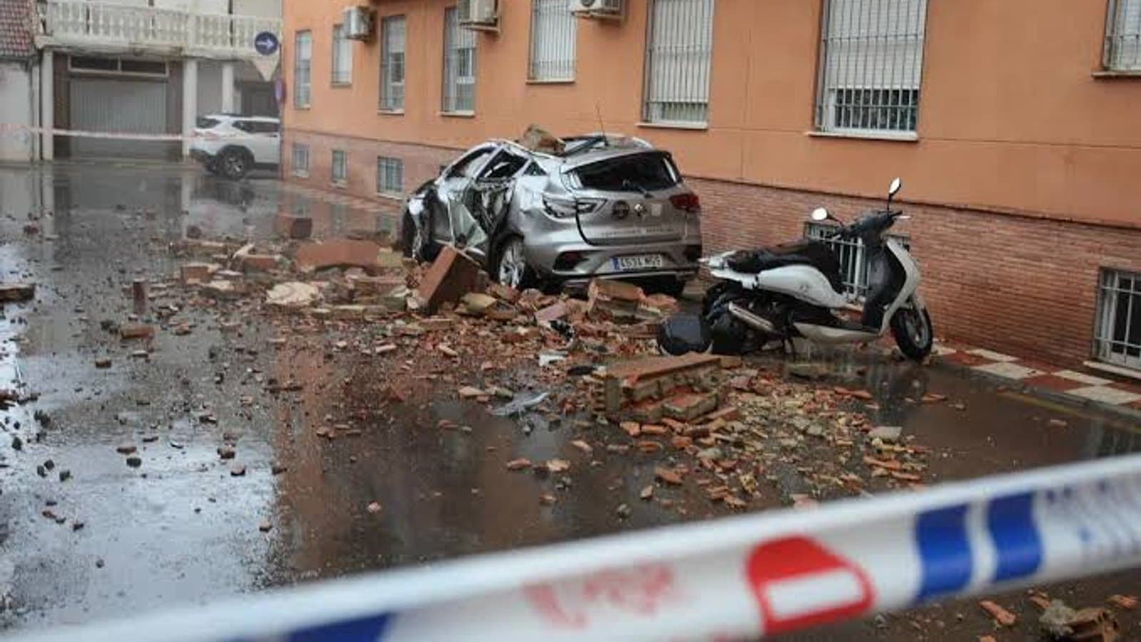
The earthquake that hit Granada in the early hours of Saturday was not, on paper, an especially large one. Spain's National Geographic Institute first measured it at 4.8 before revising the figure up to 5.0, with some independent trackers putting it slightly higher at 5.2. What made the damage disproportionate to that number was not the magnitude on its own but the depth: the quake struck barely two kilometers underground, close enough to the surface that even a moderate release of energy arrived at full force.
The epicenter sat near Alhendin, at roughly 37.11 degrees north and 3.66 degrees west, a few kilometers south of Granada itself. A shallow, moderate quake that close to a populated area travels efficiently, which is why the shaking was not confined to the city or even the province. It reached across much of Andalusia, into parts of Castilla La Mancha, and as far as Madrid, letting people who were nowhere near the epicenter feel a quake that officially registered its damage only in a handful of towns.
The ground did not settle immediately. At least thirteen aftershocks were recorded in the Granada area in the hours following the main quake, the strongest reaching magnitude 2.6 within the first half hour. None came close to matching the initial shock, but the sequence was enough to keep emergency services and residents on alert well past the point where the original tremor had stopped being news on its own.
The timing added its own layer of complication. Mid August is peak season for Andalusia's tourist economy, with visitor numbers in Granada and along the coast at their highest point of the year, and a seismic emergency plan activated in that window carries a different weight than the same plan activated in February. Whatever the final revised magnitude ends up being once the aftershock sequence is fully logged, the practical story of this earthquake was decided by two things a headline magnitude number does not capture on its own: how shallow it was, and when it happened.